What We Do
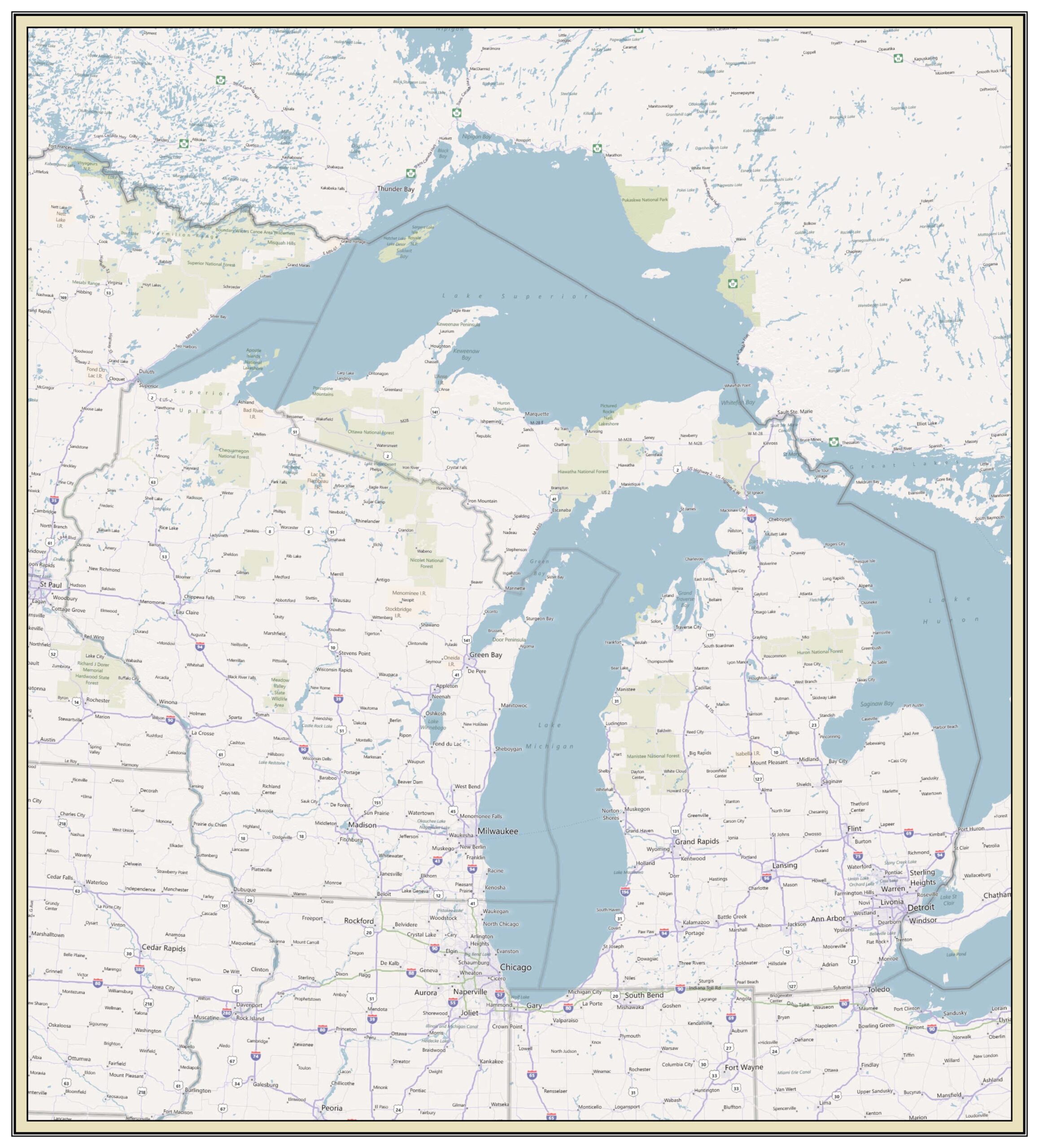
Based in northeastern Minnesota, Bismarck Map Company and Community GIS Services provides a complete menu of services as it relates to cartographic production, geospatial data creation, analysis, and application development and hosting.
Since 1999 we’ve worked with private citizens, governmental entities, non-governmental organizations, businesses, and associations to develop quality results that focus on project outcomes and client satisfaction.
After 24 years in downtown Duluth we’ve closed our storefront on East Superior Street and have gone completely remote! We still answer the phone, we still answer emails, and we still meet in person for all your project needs.
Let us know how we can help you!

Services Include But Not Limited To:
- Customized mapping products for organizations, business, clubs, property owners, and all your recreational adventures
- GPS Purchasing / Configuration / Training / Support
- GIS Mapping Application Development & Hosting Services
- Utility Mapping & Locating Services
- Parcel Mapping
- Terrestrial & Aquatic Habitat Analysis
- Land Classification Inventories
- E911 Addressing & Validation
- Historic Mapping & Analysis
Bring us your project and we’ll make it a reality!
Ready To Learn More?
We do our best to not only deliver the best product available but will also assist you with any questions relating to your project. Please call or email for questions or meet by appointment.


Keep In Touch